Maps for backcountry
Discover, plan, share, and get out there.
Discover
Explore further than ever before.

McClellan Butte
3

Mount Roosevelt
2
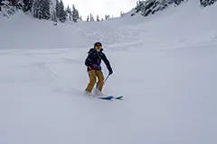
Ski Tour.
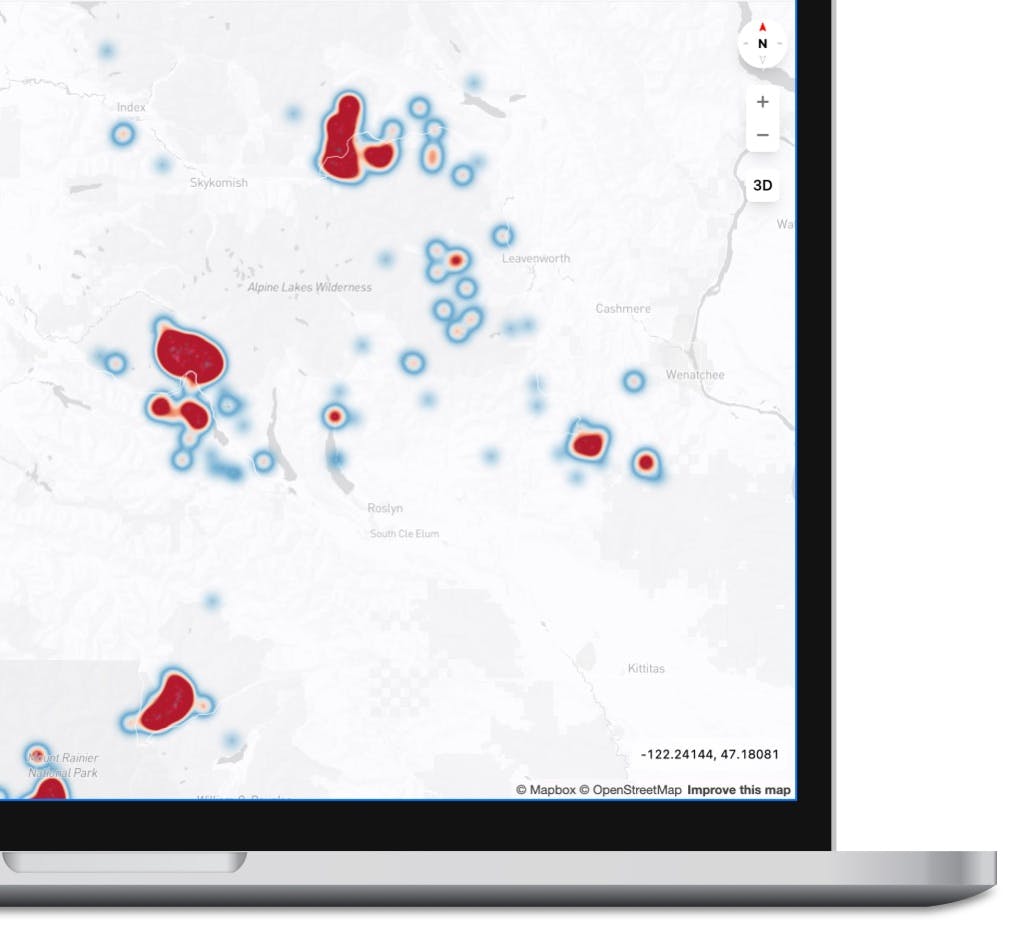
Unlock new zones.
Mountain View.
Scout ahead of time.
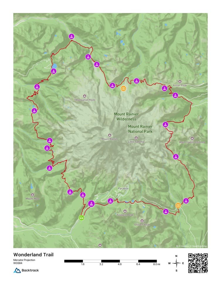
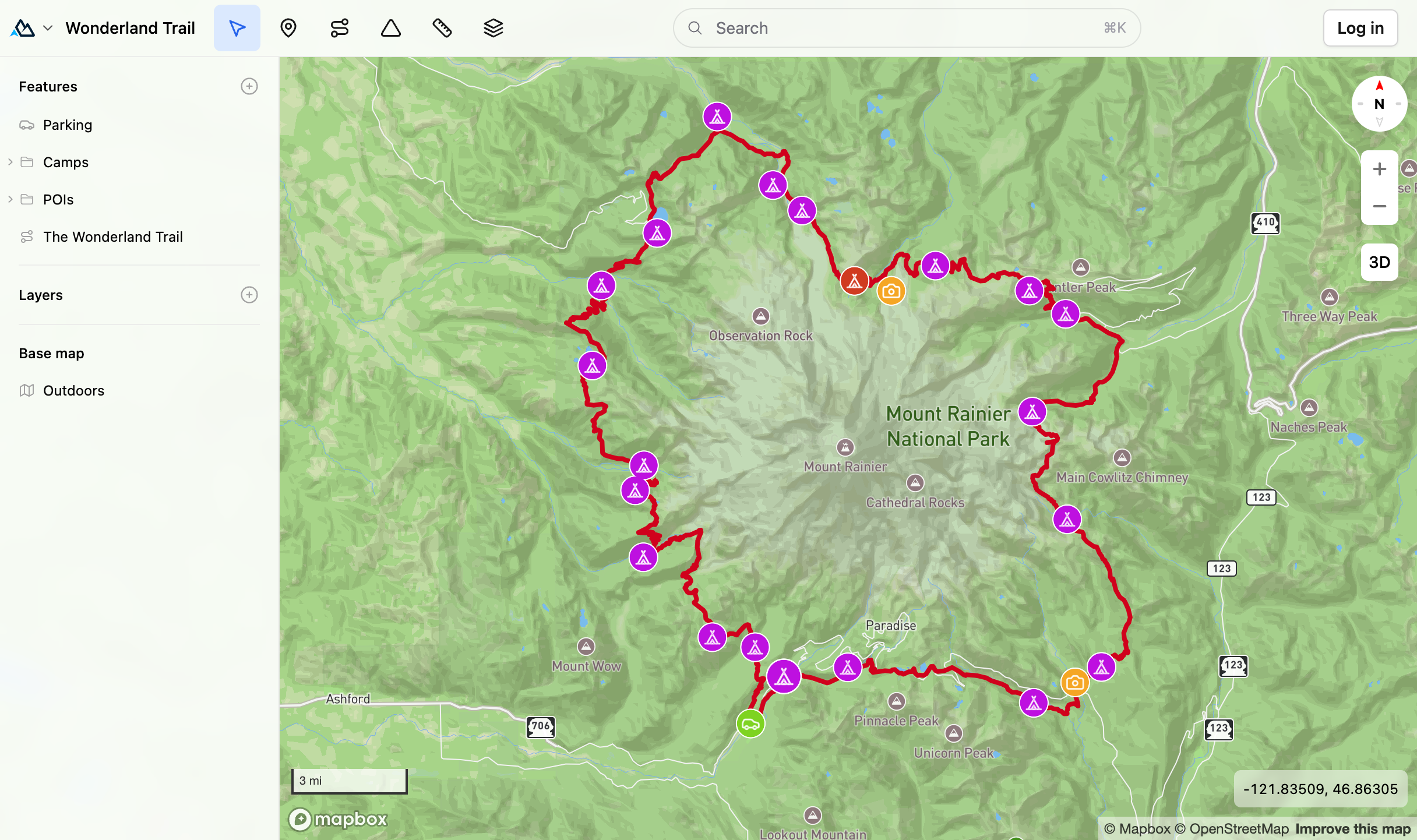
Plan
Know before you go.
Snap Mode⇧S
Click map to draw route.
Route.
Blaze your own path.
Markers.
Track where you've been or identify where you're going.
N
Click on a color segment to customize.
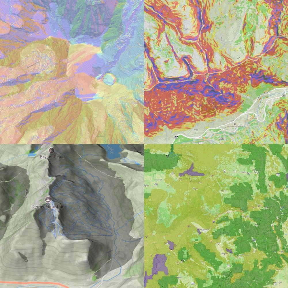
Powerful Layers.
Aspect. Slope angle. Sun exposure. Public lands.
Weather.
Forecasts along your route. Real-time data from backcountry weather stations.

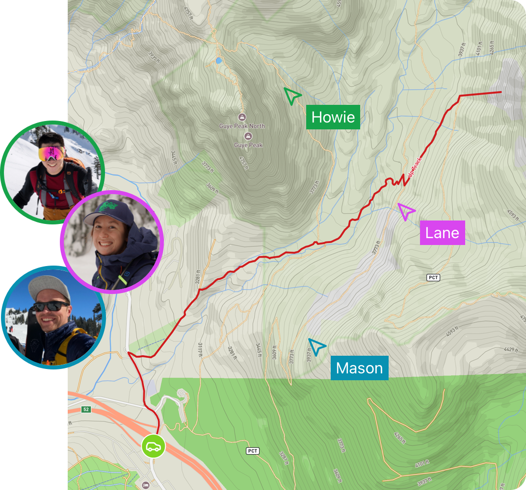
Lane Tobin
12h • Snoqualmie Pass
Avalanche
Windblown
Generally great snow conditions on N aspects all day. Some wind slab near ridge lines.
Reports.
Skip the icy crud days.
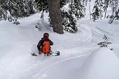
Share
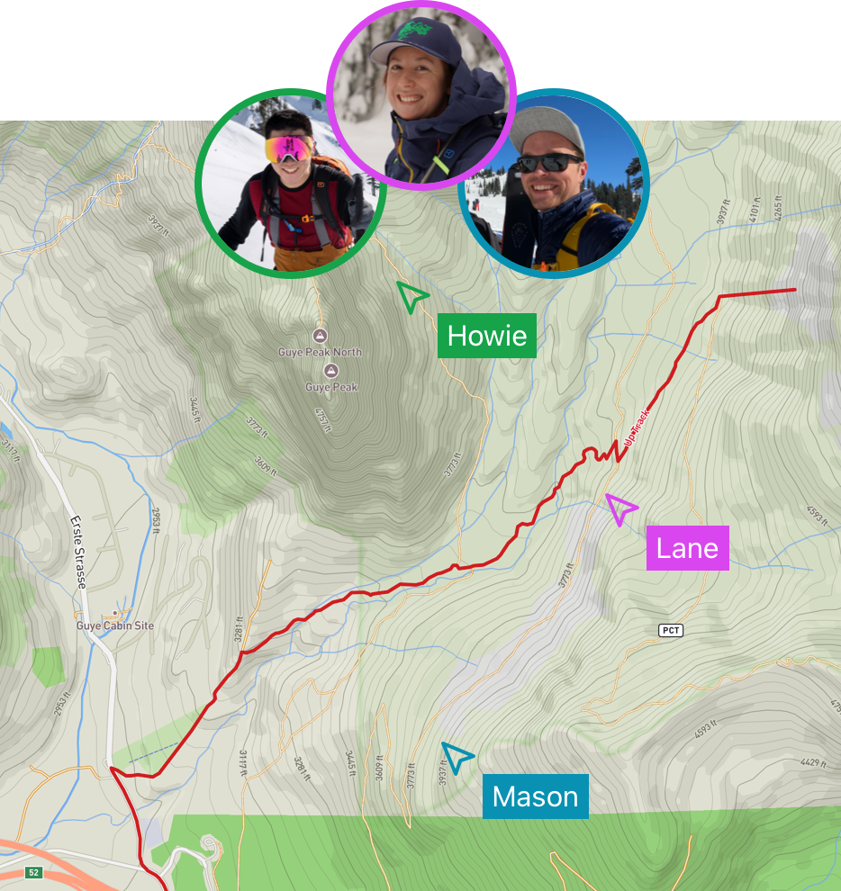
Venture together.
Collaborate.
Get everyone on the same page. In real-time.
Upload file
Import & Export.
One-click to import your existing data. Export to GPX.
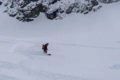
Get out there
Navigate with confidence.
No service?
No problem.
Downloaded