Cold Springs Campground
Crescent Glacier
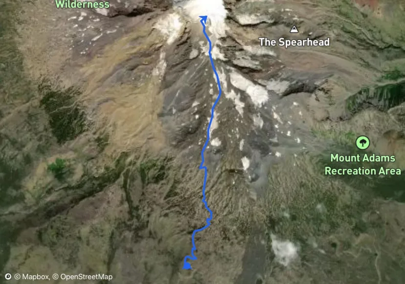
Follow the trail (if not snow covered) to the snowfield just NW of the Crescent Glacier. Campsites are available along the west edge of the snowfield or in the center of Suksdorf Ridge ranging from 8000-9400 feet elevation.
Lunch Counter
If you are doing the two day tour, set up camp then ski the snowfields in the afternoon sun. Lunch Counter is a common place for high camp for climbers but it may allow for more unencumbered skiing to camp lower on the ridge.
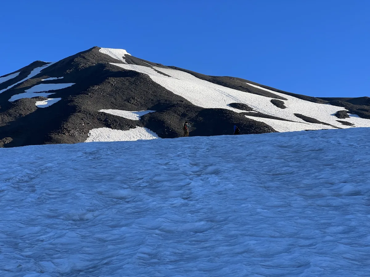
Base of Glacier
Good views of Mt. St. Helens from here as well as a highway of people ascending the large glacier.
South Face
Start the summit day early - by 6 or 7 AM if you want optimal skiing conditions. From 8000 feet it is a 4-5 hour climb depending on your pace and how well you do in the thinner air that resides above the false summit at Piker's Peak. Head north from your camp up the south face of the peak and examine the snow coverage on your way up as this wide snowfield will be your descent route.
False Summit
After you reach the false summit, you'll have another 600 feet to go, first a gradual climb across an old crater then up a short pitch to the summit ridge. The alternative descent is the southwest chute. Instead of returning to the false summit, ski down off the summit ridge the bear right to the SW. The chute is a long continuous run that is steeper than the south face and takes you down lower than your campsite on the snowfield so only do this if you have carried out all of your gear. It is possible to cut across the base of the chute at 8000 ft elevation toward the left (east) and climb back up to the lower snowfield campsites to retrieve your gear.
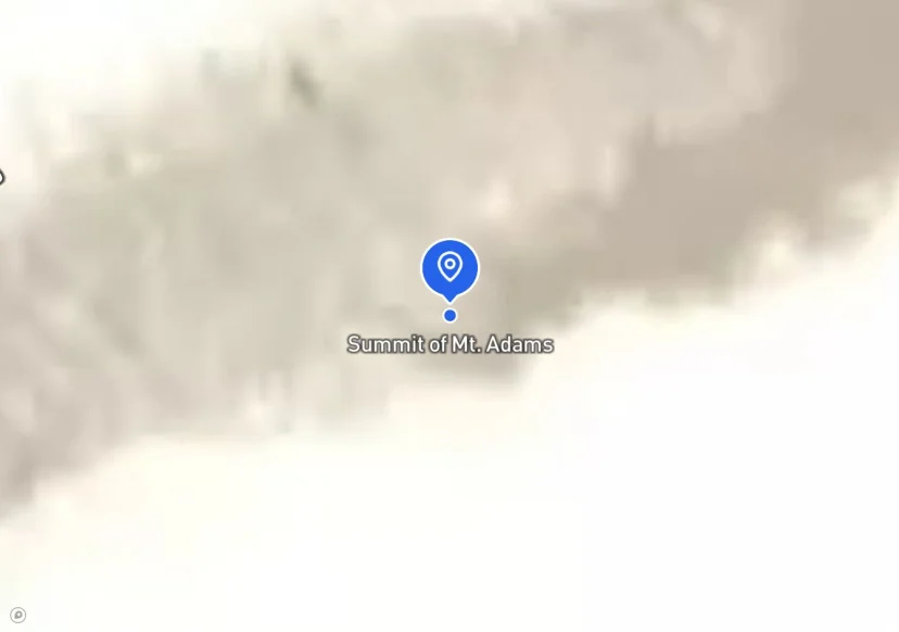
Summit of Mt. Adams
Enjoy the views of the entire Cascade Range for over 100 miles on clear days. There are two distinct descent options. The main route is to simply follow your climbing route. The snow will vary somewhat depending on the amount of consolidation that has occurred but often the best snow is on the face below the false summit. This pitch starts out as the steepest section of the descent in a relatively narrow space then rapidly opens into a wide run that is a delight for all levels of skiers and riders. Once back to the camp sites, boot or ski down the ridge to the trail head depending on the coverage. In some years, the snow coverage is quite deep at elevations just above the trail head so good navigation skills are necessary not to get lost on descent when entering the trees.
Mount Adams South Climb Trail
Your next adventure starts here
Create your own maps with custom routes, waypoints, and layers. Then share with your friends to kick off your adventure planning.