Your next adventure starts here
Create your own maps with custom routes, waypoints, and layers. Then share with your friends to kick off your adventure planning.
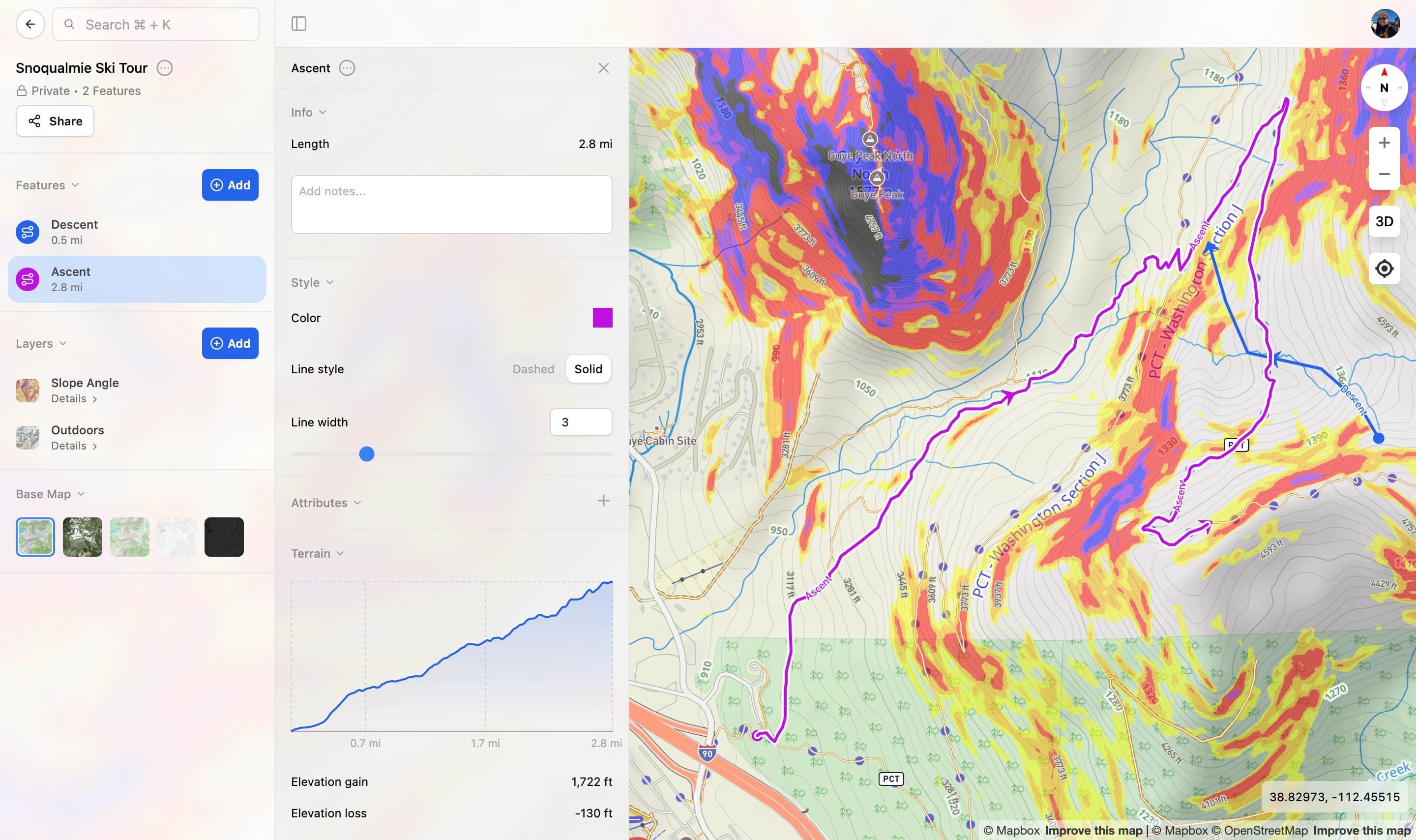
Create your own maps with custom routes, waypoints, and layers. Then share with your friends to kick off your adventure planning.
Adjusted based on Aerial Imagery
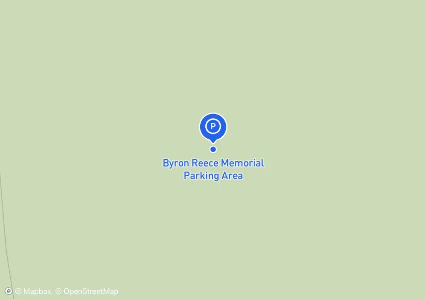
Club plans to install kiosk
Update 07-03-17: New Guide Railing installed (see attributes for specifics)
Adjusted based on Aerial Imagery
Adjusted based on Aerial Imagery

Adjusted based on Aerial Imagery
10' x 210' asphalt driveway; Adjusted based on Aerial Imagery
Mowed
Adjusted based on Aerial Imagery
Adjusted based on Aerial Imagery
Adjusted based on Aerial Imagery
Adjusted based on Aerial Imagery
Adjusted based on Aerial Imagery

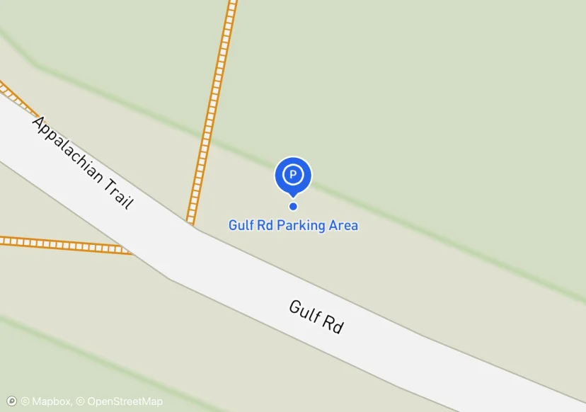
Parking area divided by Gulf Road. Width measurement more accurate description of available parking area.
105 x 3 Stone Wall. Decorative. in photo
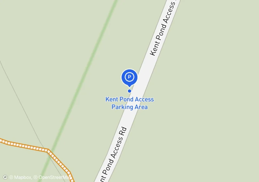
Near Kent Pond Access Parking Area
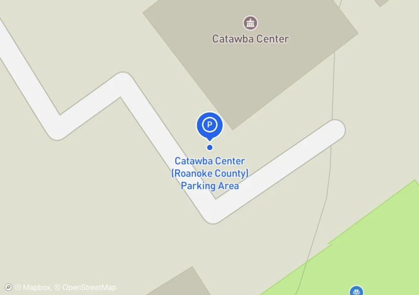
Parking Area for Catawba Greenway Side Trail, located at 4965 Catawba Creek Road. Maintained by Roanoke County
Added based on existing GIS data; Not sure if we should include in FMSS or not
no overnight parking/2 gates; Added based on existing GIS data; Not sure if we should include in FMSS or not
Added based on existing GIS data; Not sure if we should include in FMSS or not
Added based on existing GIS data; Not sure if we should include in FMSS or not
Bench
fencing material is log.
Digtized Location based on 2014 Road Inventory Assessment; Added based on existing GIS data; Not sure if we should include in FMSS or not
Use this as Reference Point Start Point also; Added based on existing GIS data; Not sure if we should include in FMSS or not
Added based on existing GIS data; Not sure if we should include in FMSS or not
Added based on existing GIS data; Not sure if we should include in FMSS or not
No field for streetlights?
Added based on existing GIS data; Not sure if we should include in FMSS or not
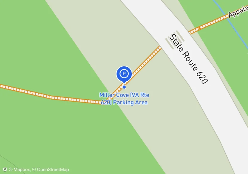
Millers Cove Road; Manually adjusted location
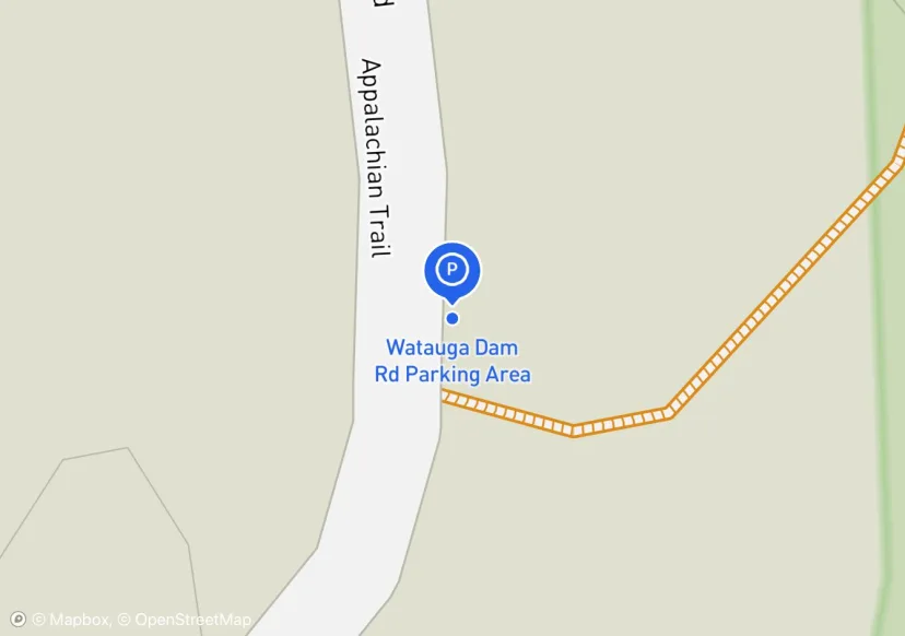
Parallel parking along Wilbur Dam Road. Name should be changed to Wilbur Dam Road Parking Area.
Added based on existing GIS data; Not sure if we should include in FMSS or not
other denotes rail ties
Emergency vehicle parking enclosed by & postfence.
Need to confirm who maintains this -- Walasi or GA DOT?; Added based on existing GIS data; Not sure if we should include in FMSS or not
Old CT/MA line road to Sages Ravine, I don't think we want to promote this as an A.T. parking area; Added based on existing GIS data; Not sure if we should include in FMSS or not
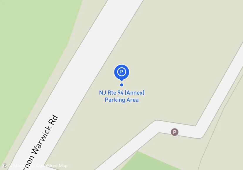
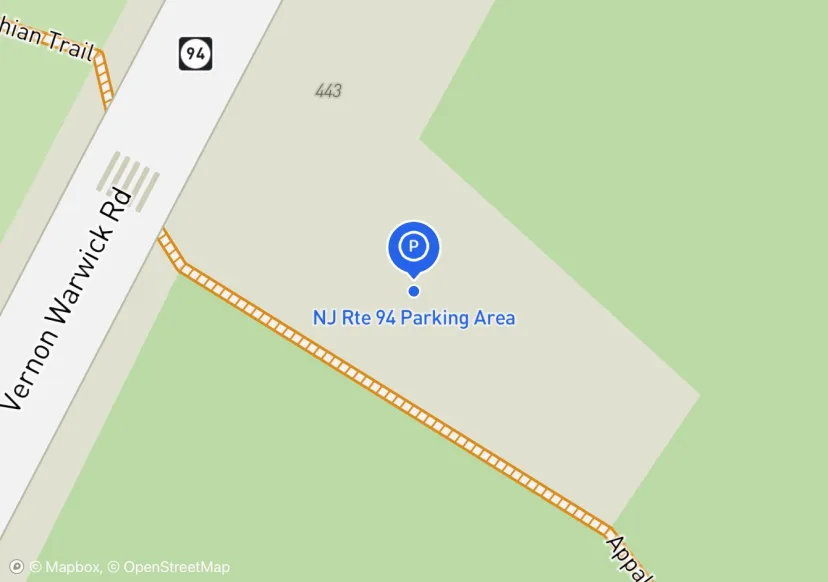
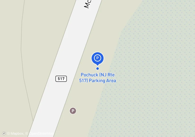
just an offshoot of NJ94; Added based on existing GIS data; Not sure if we should include in FMSS or not
Digtized Location based on 2014 Road Inventory Assessment; Added based on existing GIS data; Not sure if we should include in FMSS or not
Added based on existing GIS data; Not sure if we should include in FMSS or not
Added based on existing GIS data; Not sure if we should include in FMSS or not
Added based on existing GIS data; Not sure if we should include in FMSS or not
Added based on existing GIS data; Not sure if we should include in FMSS or not
Check w/SHEN for asset info/data; Added based on existing GIS data; Not sure if we should include in FMSS or not
Added based on existing GIS data; Not sure if we should include in FMSS or not
Added based on existing GIS data; Not sure if we should include in FMSS or not
Digtized Location based on 2014 Road Inventory Assessment; Added based on existing GIS data; Not sure if we should include in FMSS or not
Added based on existing GIS data; Not sure if we should include in FMSS or not
Added based on existing GIS data; Not sure if we should include in FMSS or not
Added based on existing FMSS data; Not sure we should keep in FMSS
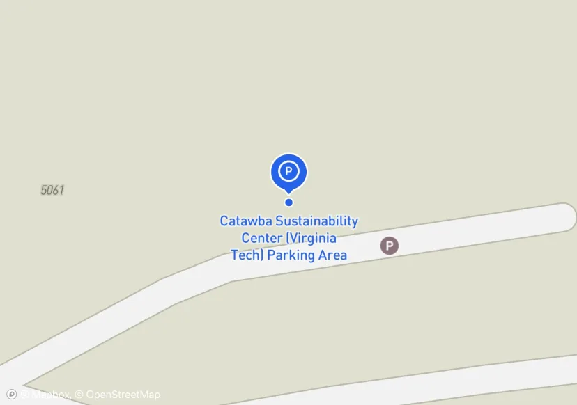
Parking Area for Catawba Greenway Side Trail, located at 5061 Catawba Creek Road. Maintained by Virginia Tech
Added based on existing FMSS data; Not sure we should keep in FMSS
TWO ENTRANCES. PAVED ACCESS ROAD BUT GRAVEL PARKING SURFACE; State DOT did recent improvements, but NPS owned; Added based on existing GIS data; Not sure if we should include in FMSS or not
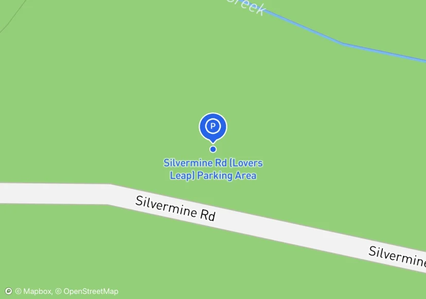
Roadside parking along Silvermine Rd up to the junction of US-19 & US 74
Digtized Location based on 2014 Road Inventory Assessment; Added based on existing GIS data; Not sure if we should include in FMSS or not
Added based on existing GIS data; Not sure if we should include in FMSS or not
Digtized Location based on 2014 Road Inventory Assessment; Added based on existing GIS data; Not sure if we should include in FMSS or not
Added based on existing GIS data; Not sure if we should include in FMSS or not

Digtized Location based on 2014 Road Inventory Assessment; Added based on existing GIS data; Not sure if we should include in FMSS or not
Added based on existing GIS data; Not sure if we should include in FMSS or not
Added based on existing GIS data; Not sure if we should include in FMSS or not
Added based on existing GIS data; Not sure if we should include in FMSS or not
Added based on existing GIS data; Not sure if we should include in FMSS or not
Added based on existing GIS data; Not sure if we should include in FMSS or not
Added based on existing GIS data; Not sure if we should include in FMSS or not
Added based on existing GIS data; Not sure if we should include in FMSS or not
Added based on existing GIS data; Not sure if we should include in FMSS or not
Added based on existing GIS data; Not sure if we should include in FMSS or not
Added based on existing GIS data; Not sure if we should include in FMSS or not
Added based on existing GIS data; Not sure if we should include in FMSS or not
Added based on existing GIS data; Not sure if we should include in FMSS or not
SHEN gate and lock; Added based on existing GIS data; Not sure if we should include in FMSS or not
not on Rohland's parking website; Added based on existing GIS data; Not sure if we should include in FMSS or not
Added based on existing GIS data; Not sure if we should include in FMSS or not
Added based on existing GIS data; Not sure if we should include in FMSS or not
Added based on existing GIS data; Not sure if we should include in FMSS or not
Added based on existing GIS data; Not sure if we should include in FMSS or not
Added based on existing GIS data; Not sure if we should include in FMSS or not
Modern restroom facilties.; Added based on existing GIS data; Not sure if we should include in FMSS or not
Get asset info from SHEN; Added based on existing GIS data; Not sure if we should include in FMSS or not
Added based on existing GIS data; Not sure if we should include in FMSS or not
Gate across road that leads to parking lot; Added based on existing GIS data; Not sure if we should include in FMSS or not
Added based on existing GIS data; Not sure if we should include in FMSS or not
gate on adjacent admin road; Added based on existing GIS data; Not sure if we should include in FMSS or not
Added based on existing GIS data; Not sure if we should include in FMSS or not
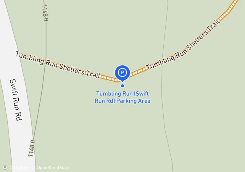
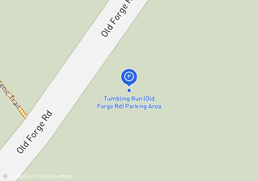
some people use this to get to Tumbling Run Shelter quickly; Added based on existing GIS data; Not sure if we should include in FMSS or not
There are two to three of these shoulder side parking spots along this road.; Added based on existing GIS data; Not sure if we should include in FMSS or not
Added based on existing GIS data; Not sure if we should include in FMSS or not
Added based on existing GIS data; Not sure if we should include in FMSS or not
Added based on existing GIS data; Not sure if we should include in FMSS or not
Digtized Location based on 2014 Road Inventory Assessment; Added based on existing GIS data; Not sure if we should include in FMSS or not
Added based on existing GIS data; Not sure if we should include in FMSS or not
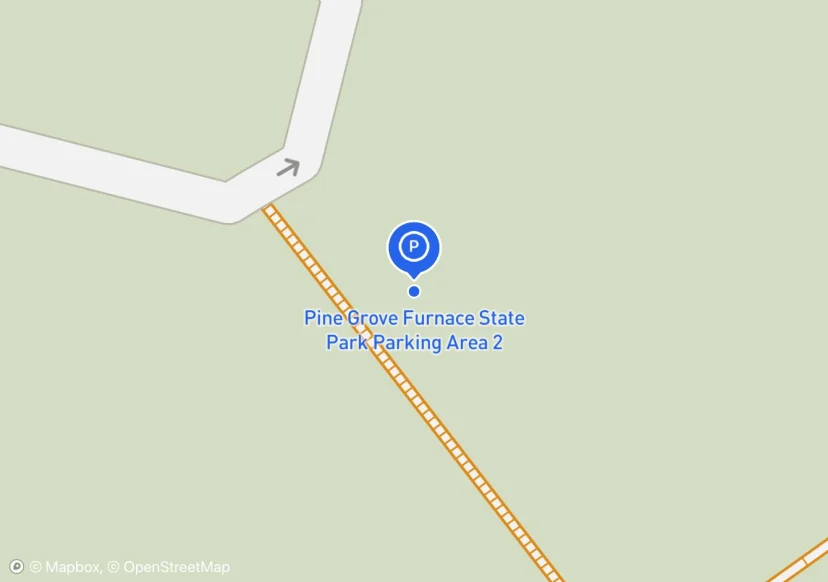
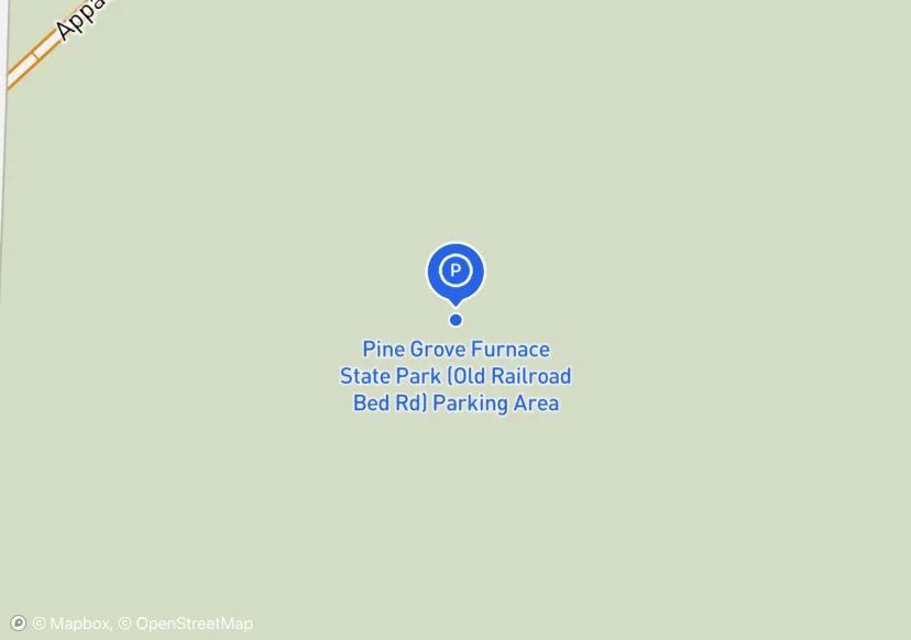
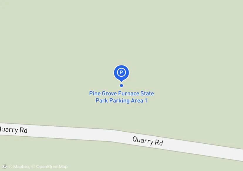
All owned by Pine Grove Furnace State Park; permit is required from Park Office; Added based on existing GIS data; Not sure if we should include in FMSS or not
Added based on existing GIS data; Not sure if we should include in FMSS or not
Added based on existing GIS data; Not sure if we should include in FMSS or not

poor site distance; Added based on existing GIS data; Not sure if we should include in FMSS or not
Added based on existing GIS data; Not sure if we should include in FMSS or not
water spigot, interpretive sign, iron furnace; permit is required from Park Office; Added based on existing GIS data; Not sure if we should include in FMSS or not
Added based on existing GIS data; Not sure if we should include in FMSS or not
water spigot, many amenities; Added based on existing GIS data; Not sure if we should include in FMSS or not
Update 05-07-17: Parking Area added. Information submitted via Parking Area Update Form dated 05-07-2017 by Peter Johnson; Added based on Inventory Form
Parking in front of gate prohibited - fire lane.; Added based on existing GIS data; Not sure if we should include in FMSS or not
Poor site distance. Close this lot?
Digtized Location based on 2014 Road Inventory Assessment; Added based on existing GIS data; Not sure if we should include in FMSS or not
Added based on existing GIS data; Not sure if we should include in FMSS or not
Added based on existing GIS data; Not sure if we should include in FMSS or not
Added based on existing GIS data; Not sure if we should include in FMSS or not
Digtized Location based on 2014 Road Inventory Assessment; Added based on existing GIS data; Not sure if we should include in FMSS or not
Added based on existing GIS data; Not sure if we should include in FMSS or not
Added based on existing GIS data; Not sure if we should include in FMSS or not
Digtized Location based on 2014 Road Inventory Assessment; Added based on existing GIS data; Not sure if we should include in FMSS or not
no overnight parking; Added based on existing GIS data; Not sure if we should include in FMSS or not
Added based on existing GIS data; Not sure if we should include in FMSS or not
Added based on existing GIS data; Not sure if we should include in FMSS or not
Added based on existing GIS data; Not sure if we should include in FMSS or not
Added based on existing GIS data; Not sure if we should include in FMSS or not
Added based on existing GIS data; Not sure if we should include in FMSS or not
Digtized Location based on 2014 Road Inventory Assessment; Added based on existing GIS data; Not sure if we should include in FMSS or not
Added based on existing GIS data; Not sure if we should include in FMSS or not
Added based on existing GIS data; Not sure if we should include in FMSS or not
Added based on existing GIS data; Not sure if we should include in FMSS or not

Added based on existing GIS data; Not sure if we should include in FMSS or not
Added based on existing GIS data; Not sure if we should include in FMSS or not
Digtized Location based on 2014 Road Inventory Assessment; Added based on existing GIS data; Not sure if we should include in FMSS or not
Added based on existing GIS data; Not sure if we should include in FMSS or not
Added based on existing GIS data; Not sure if we should include in FMSS or not
Added based on existing GIS data; Not sure if we should include in FMSS or not
Added based on existing GIS data; Not sure if we should include in FMSS or not
Added based on existing GIS data; Not sure if we should include in FMSS or not; Adjusted based on Aerial Imagery
Added based on existing GIS data; Not sure if we should include in FMSS or not
Added based on existing GIS data; Not sure if we should include in FMSS or not
Added based on existing GIS data; Not sure if we should include in FMSS or not
Added based on existing GIS data; Not sure if we should include in FMSS or not
Added based on existing GIS data; Not sure if we should include in FMSS or not
plenty of other roadside parking around; Added based on existing GIS data; Not sure if we should include in FMSS or not
additional shoulder parking possible; Added based on existing GIS data; Not sure if we should include in FMSS or not
Added based on existing GIS data; Not sure if we should include in FMSS or not
AT parking and canoe launch; Added based on existing GIS data; Not sure if we should include in FMSS or not
Added based on existing GIS data; Not sure if we should include in FMSS or not
moderately improved; Added based on existing GIS data; Not sure if we should include in FMSS or not

Added based on existing GIS data; Not sure if we should include in FMSS or not
Digtized Location based on 2014 Road Inventory Assessment; Added based on existing GIS data; Not sure if we should include in FMSS or not
Added based on existing GIS data; Not sure if we should include in FMSS or not
private property; Added based on existing GIS data; Not sure if we should include in FMSS or not
Digtized Location based on 2014 Road Inventory Assessment; Added based on existing GIS data; Not sure if we should include in FMSS or not
Added based on existing GIS data; Not sure if we should include in FMSS or not
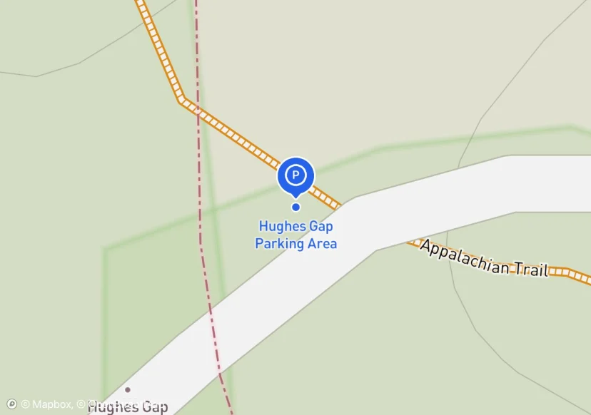
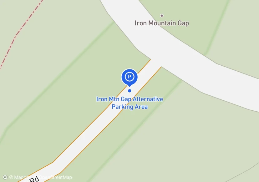
Cove Creek Road; Pictures taken in dark, use old pictures from 100715_TEHCC_Hughes_Gap_to_Iron_Mountain_Gap
Added based on existing GIS data; Not sure if we should include in FMSS or not
wood with rebar bike rack
Adjusted location based on Aerial Imagery
adjacent to closed USFS road
Adjusted location based on Aerial Imagery

Locust pole fencing
Curb may be considered retaining wall 167 x1 see photos
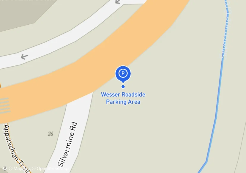
Roadside parking at junction of Silvermine Rd. and US-19 & US 74; Across the street from NOC
interesting design with the largest and most obvious space in the northern end tapering to the south with sporadic pull overs.
Fence is dimensional lumber stained, 65' is an estimate. I measured 23' of fence but the rest was inaccessible due to blackberry thicket.
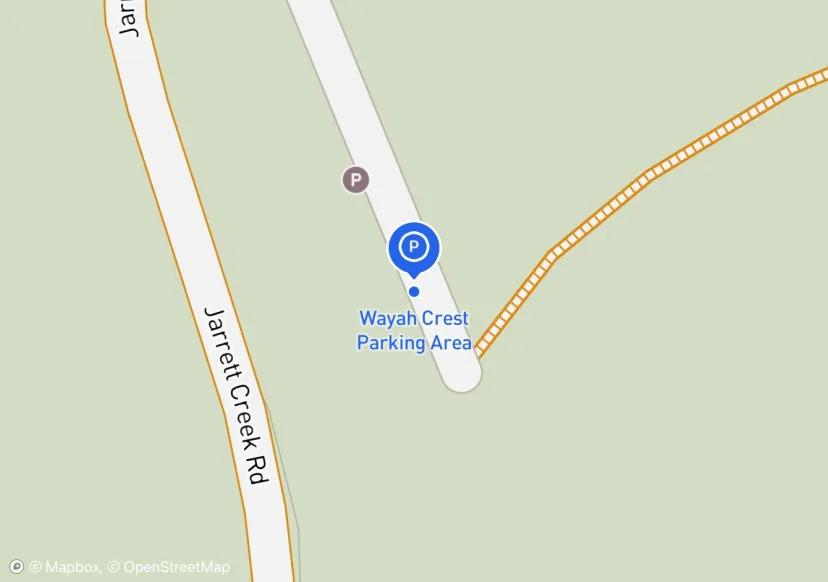
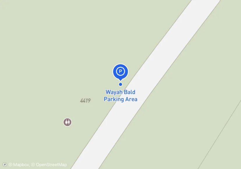
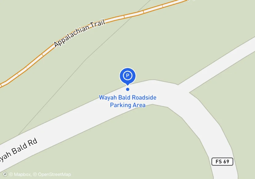
Just off of Wayah Road (NC 1310). Picnic Area nearby.
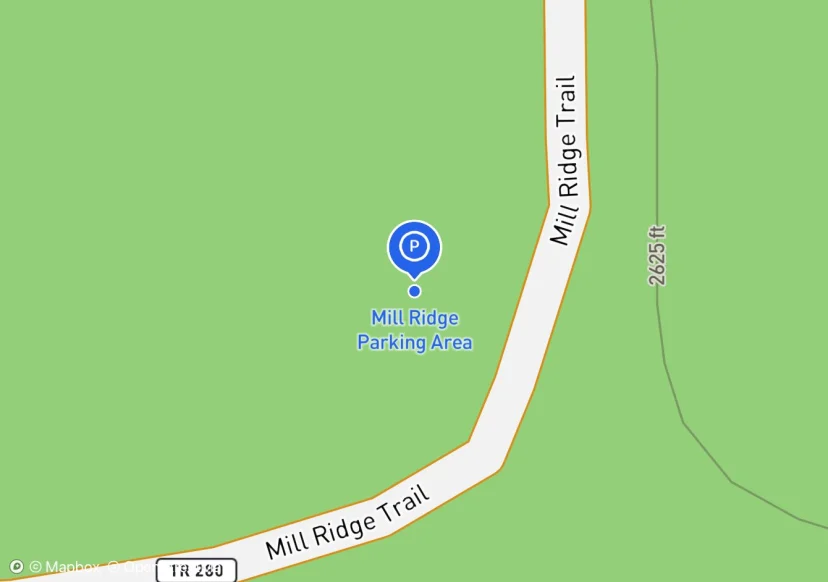
Should be named Wilson Lick Parking Area
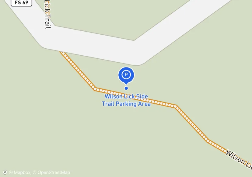
adjacent to andrews Cove trail intersection
Fence is associated with adjacent pasture
guide rail is railroad ties
Washout around the perimeter of parking area.
Small Pull Off Parking Area
Half snow covered but collected striping length under snow
None

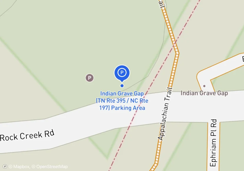
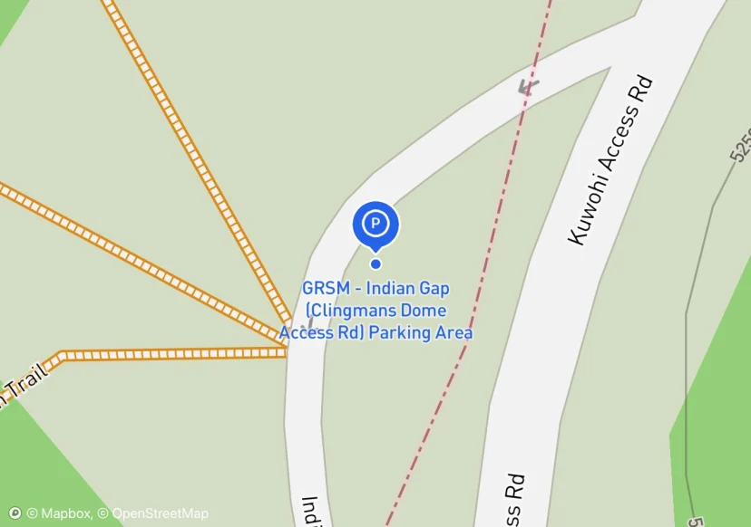
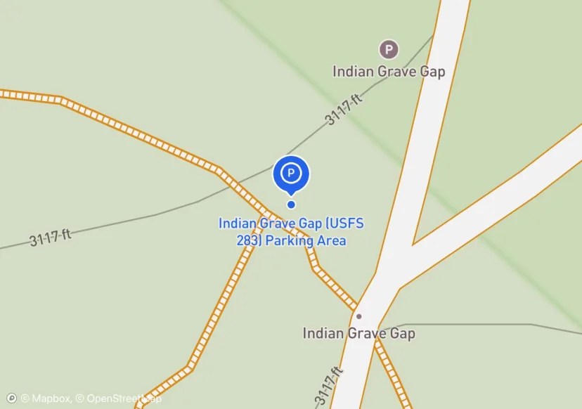
Indian Grave Gap Parking
Has sign pointing to AT
Not in collection material, but many people park here to hike on AT
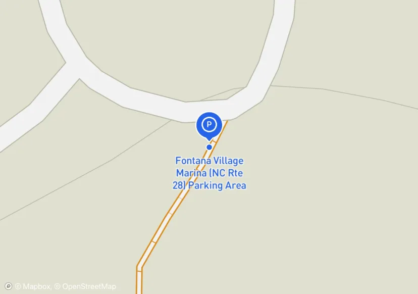
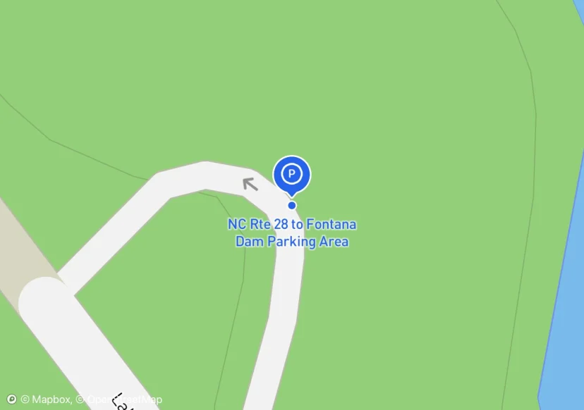
shared with Fontana Dam Marina
Not in collection list, but collected anyway
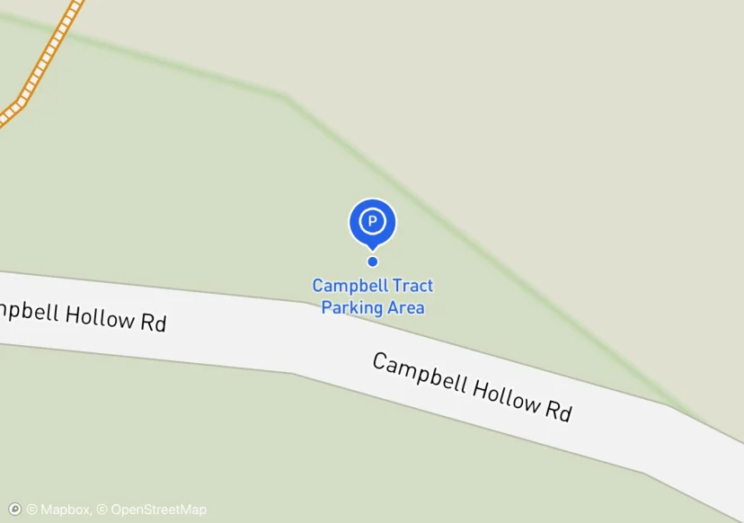
Pull in at road off of Campbell Hollow Road. This is the only spot I saw to park. There is no wide spot on Campbell Hollow Road
Gate on Forest Service Road
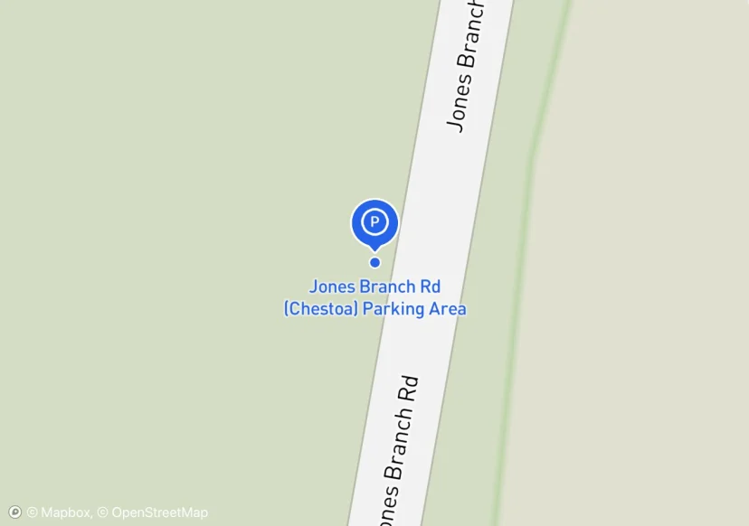
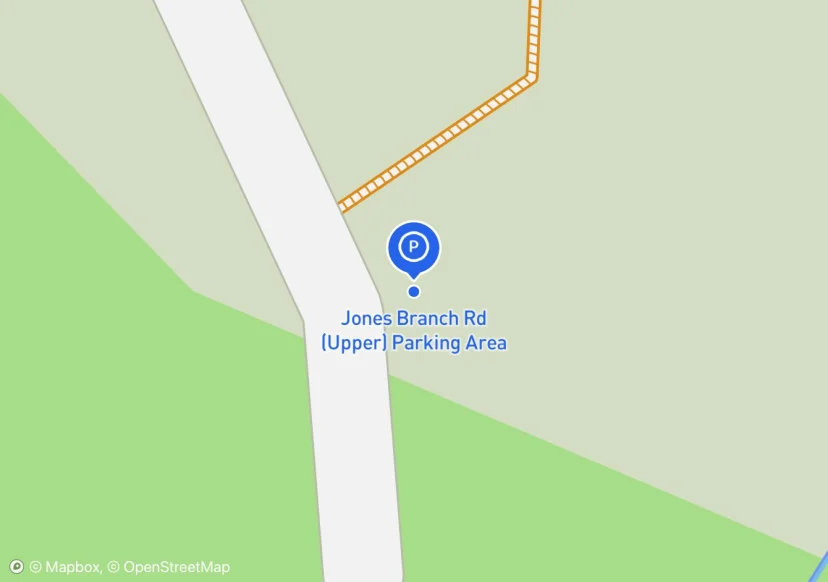
jones branch pull off
May or may not qualify as roadside pull off
retaining wall material is rail road ties

Parking in circle drive. Outside perimeter has boulders buried in 190 linear ft of dirt 3 ft deep at max depth.
None
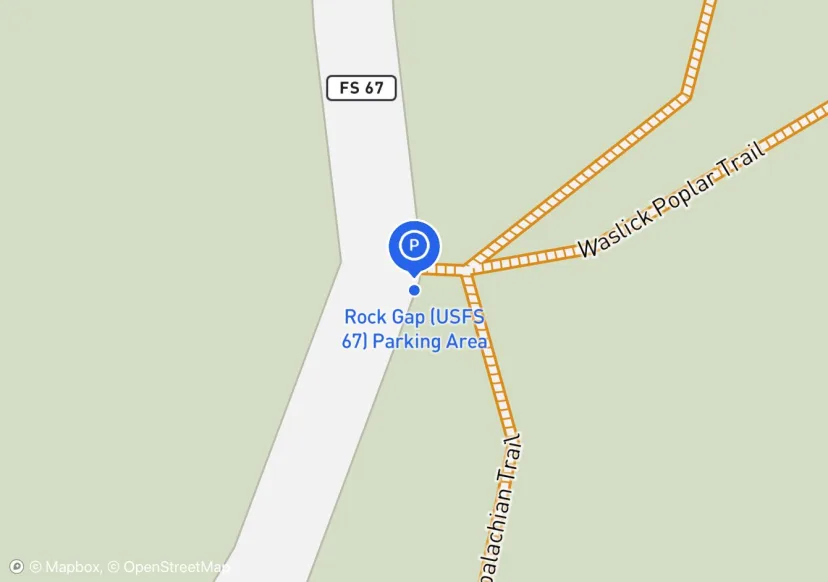
curbing is technically rail road ties. USFS 67
Parking surface is dirt/grass
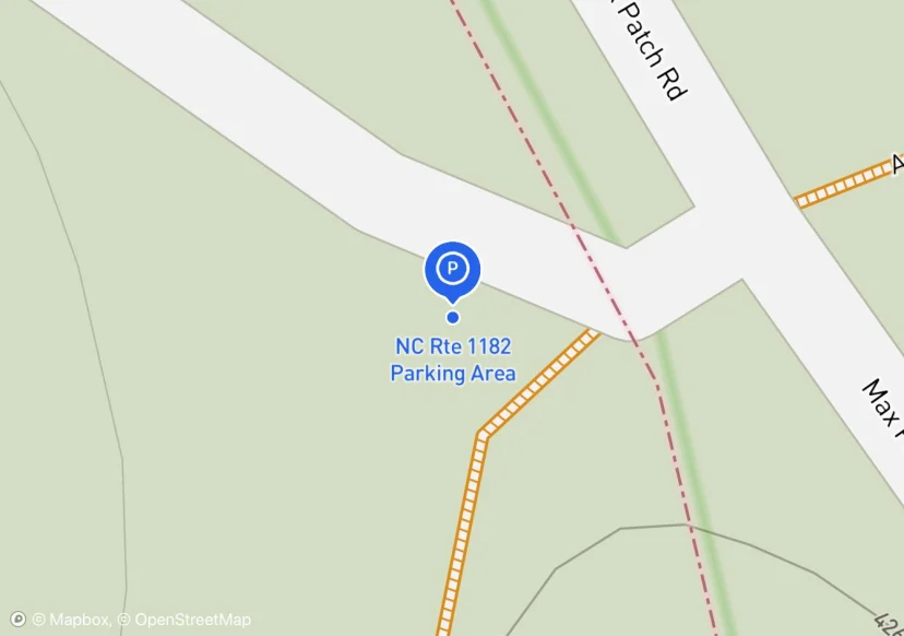
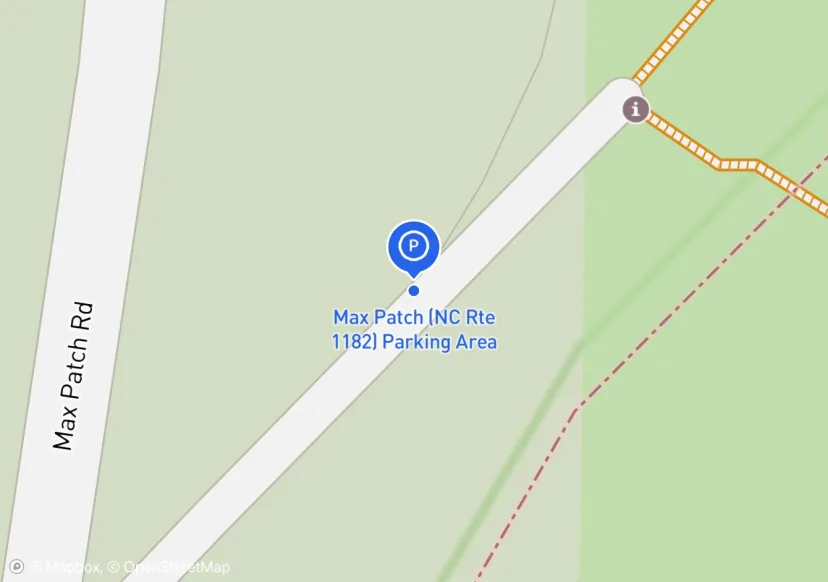
On trail at junction of 1182 and 2250
Surface 50/50 Asphalt to Gravel
Added based on existing GIS data; Not sure if we should include in FMSS or not
Kind of up in the air for future status, maybe improvements, currently not official though; Added based on existing GIS data; Not sure if we should include in FMSS or not
Hunt Trail; Added based on existing GIS data; Not sure if we should include in FMSS or not
engineered with asphalt (450ft * 60ft) dirt wings on both sides; GIS says owner is NH DOT but lot is at an AMC facitility
Wide, mowed shoulder on either side of road. Nothing official.
Extent adjusted around cars
Not sure if this should be included

Wide dirt shoulder extends 100ft further. See photo
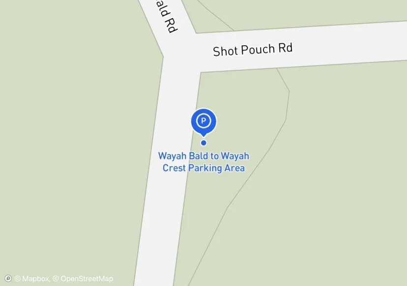
Maintainer showed me this parking lot adjacent to trail. It is called Shot Pouch Parking Area
Railing along sidewalk in parking lot, not sure wheter to colect or not. Was not able to access part of lower parking area closed for construction. 27 more spots and 2 ADA spots in construction area 2 ADA symbols
Used to be referred to as the "Jesuit Hostel" parking area b/c it is beside a Hostel, but the parking area is on USFS land. The new hostel nearby is called The Hostel at Laughing Heart Lodge.
Not sure this should be in the inventory, it is a pay to use, day use area. The parking is for the beach.
Not sure if this parking area should be included. People are using it to access the AT though and specifically the scenic vistas on the AT
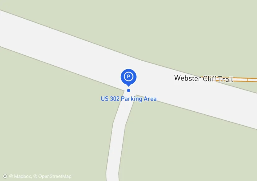
Surface 1/2 asphalt from the paved road leading up, 1/2 gravel; High Use:Parking Area full with 15 cars and just as many parked along to road heading down to RTE 302
Digtized Location based on 2014 Road Inventory Assessment; Added based on existing GIS data; Not sure if we should include in FMSS or not
striping is fading and/or nonexistent, there are parking fees payment boxes and signs unsure whether this constitues regaulatory signage
Added based on existing GIS data; Not sure if we should include in FMSS or not
User Created, high use; Added based on existing GIS data; Not sure if we should include in FMSS or not
Just a few spots in among the trees; Added based on existing GIS data; Not sure if we should include in FMSS or not
Added based on existing GIS data; Not sure if we should include in FMSS or not
Digtized Location based on 2014 Road Inventory Assessment; Added based on existing GIS data; Not sure if we should include in FMSS or not
Added based on existing GIS data; Not sure if we should include in FMSS or not
Added based on existing GIS data; Not sure if we should include in FMSS or not
Digtized Location based on 2014 Road Inventory Assessment; Added based on existing GIS data; Not sure if we should include in FMSS or not
Added based on existing GIS data; Not sure if we should include in FMSS or not
This has been closed according to Morgan Sommerville
The two parking areas are disconnected by a pulloff asphalt area. This area has a road entrance in the middle of it.
fiberglass stops , dimensional wood fence, unsure of the FMSS/GIS id assignments
Pulloff, but has a blue blaze trail connecting to AT
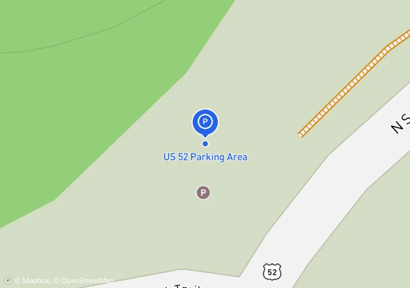
Along roadside between US 52 and I-77 rights of way.
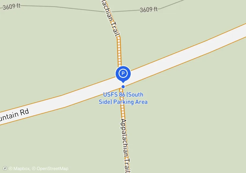
South side of FS 86.
ATC has an easement on this parking lot

Added based on existing GIS data; Not sure if we should include in FMSS or not
Area at end of Scales Road (FS 613) in southwest corner of Scales Campsite. In 2020, 3 Gates and 3 Stiles + 1330 linear feet of Fence were added. The fence is Post and Rail style.
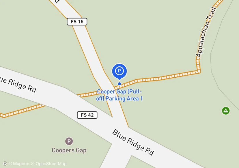
Trail South Side of Cooper Gap Road
Parking area is wide area on either side of gated Forest Service Road. Need to talk to club to see if grassy area is the actual parking area. Approximately only 40 feet of the length is usable.
1 gate up FS3505, visible from parking area, this is the gate accounted for in data dictionary.
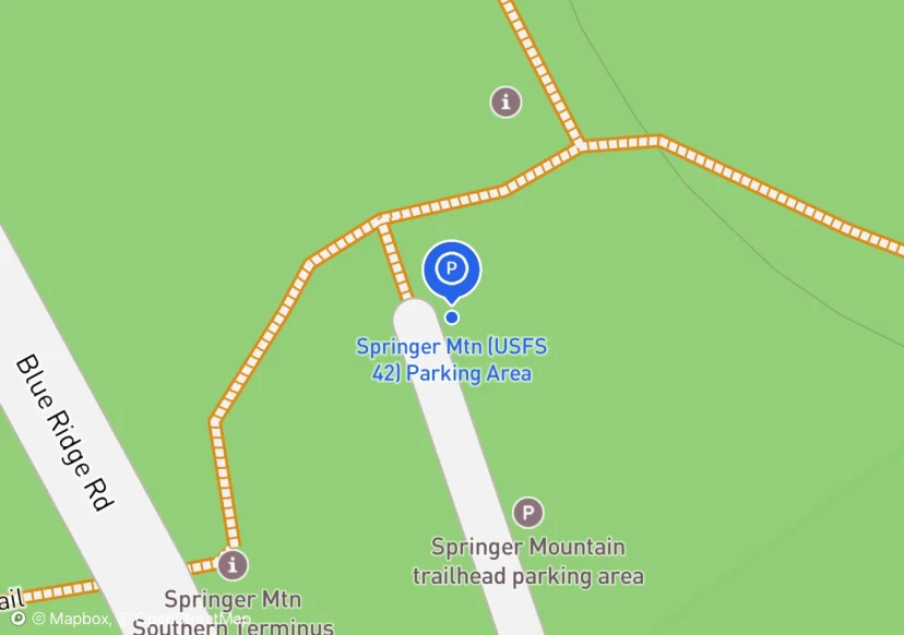
Springer Mountain Parking area
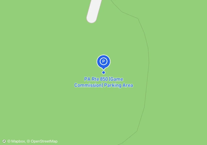
PA Game Commission; Added based on existing GIS data; Not sure if we should include in FMSS or not
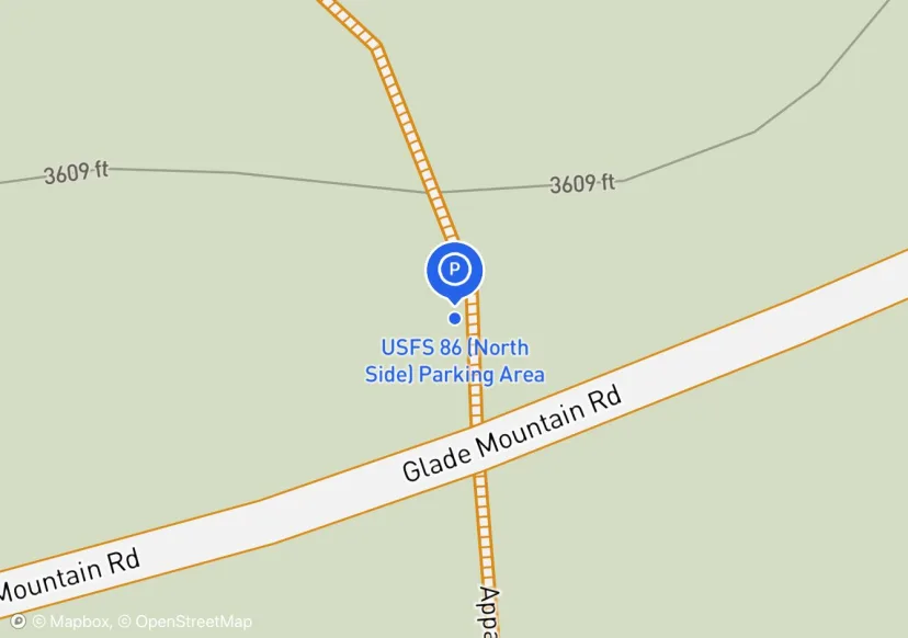
North side of FS 86

mbpl according to at sign
Intersection of Glenwood Horse Trail.
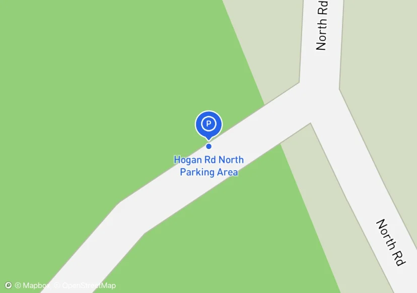
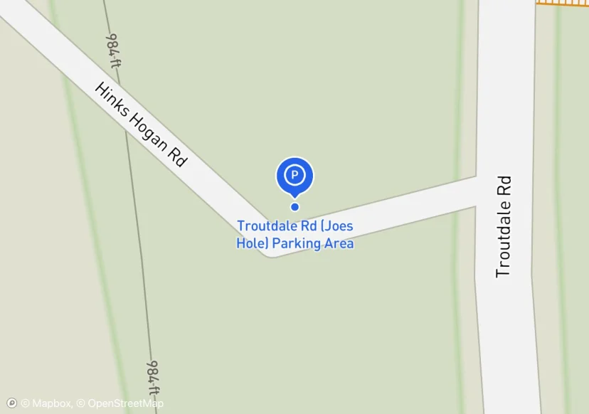
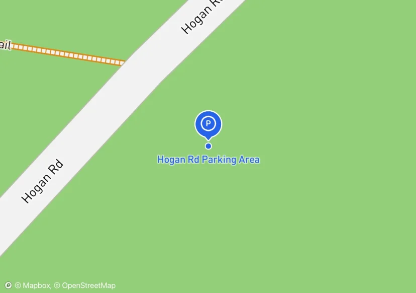
Parking area is small pull off at the beginning of Hogan Road
NC64
Widened shoulder on dirt road.